Rocket scientists to build robots to probe melting beneath
LOS ANGELES: Engineers who specialise in building Nasa spacecraft to explore distant worlds are designing a fleet of underwater robot probes to measure how rapidly climate change is melting vast ice sheets around Antarctica and what that means for rising sea levels.
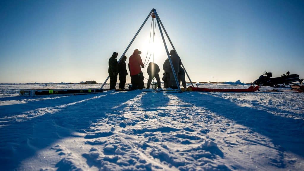
A prototype of the submersible vehicles, under development by Nasa’s Jet Propulsion Laboratory near Los Angeles, was tested from a US Navy laboratory camp in the Arctic, where it was deployed beneath the frozen Beaufort Sea north of Alaska in March.
“These robots are a platform to bring science instruments to the hardest-to-reach locations on Earth,” Paul Glick, a JPL Robotics engineer and principal investigator for the IceNode project, said in a summary posted on Thursday on Nasa’s website.
The probes are aimed at providing more accurate data gauging the rate at which warming ocean water around Antarctica is melting the continent’s coastal ice, allowing scientists to improve computer models to predict future sea level rise.
The fate of the world’s largest ice sheet is a major focus of nearly 1,500 academics and researchers who gathered this week in southern Chile for the 11th Scientific Committee on Antarctica Research conference.
A JPL analysis published in 2022 found that thinning and crumbling away of Antarctica’s ice shelf had reduced its mass by some 12 trillion tons since 1997, double previous estimates.
If melted completely, according to Nasa, the loss of the continent’s ice shelf would raise global sea levels by an estimated 200-ft (60-m).
Ice shelves, floating slabs of frozen freshwater extending miles from the land into the sea, take thousands of years to form and act like giant buttresses holding back glaciers that would otherwise slide off easily into the surrounding ocean.
Satellite images have shown the outer “calving” off into icebergs at a higher rate than nature can replenish shelf growth.
At the same time, rising ocean temperatures are eroding the shelves from underneath, a phenomenon scientists hope to examine with greater precision with the submersible IceNode probes.
The cylindrical vehicles, about 8-ft (2.4-m) long and 10 inches (25-cm) in diameter, would be released from boreholes in the ice or from vessels at sea.
Although equipped with no form of propulsion, the robot probes would drift in currents, using special software guidance, to reach “grounding zones” where the frozen freshwater shelf meets the ocean saltwater and land. These cavities are impenetrable to even satellite signals.
“The goal is getting data directly at the ice-ocean melting interface,” said Ian Fenty, a JPL climate scientist.
Upon arrival at their targets, the submersibles would drop their ballast and float upwards to affix themselves to the underside of the ice shelf by releasing three-pronged “landing gear” sprung from one end of the vehicle.
The IceNodes would then continuously record data from beneath the ice for up to a year, including seasonal fluctuations, before releasing themselves to drift back to the open seas and transmit readings via satellite.
Previously, thinning of the ice shelf was documented by satellite altimeters measuring the changing height of the ice from above.
During the March field test, an IceNode prototype descended 330-ft (100-m) into the ocean to gather salinity, temperature and flow data. Previous tests were conducted in California’s Monterey Bay and below the frozen winter surface of Lake Superior, off Michigan’s upper peninsula.
Ultimately, scientists believe 10 probes would be ideal to gather data from a single ice shelf cavity, but “we have more development and testing to go” before devising a timeline for full-scale deployment, Glick said.

